What this paper found
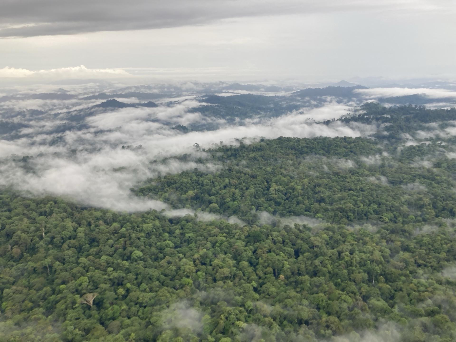
An evaluation of NASA GEDI spaceborne lidar for quantifying forest structure across degradation gradients in Amazonian rainforests. The study assessed how well GEDI captures canopy height and biomass variation in forests at different stages of degradation.
How this informs belian.earth’s work
Spaceborne LiDAR is one of the inputs belian.earth uses for biomass and structural assessment at scale. This work, which Hugh co-authored, evaluates how GEDI performs across forest degradation gradients, directly relevant to digital MRV systems for forest carbon credits. The complementary question of how earth observation foundation models extend these signals beyond pixel-level classification is what we discussed at ML4EO 2026.
Frequently asked questions
Can GEDI spaceborne lidar quantify forest degradation?
+
An evaluation of NASA GEDI in Amazonian rainforests assessed how well spaceborne lidar captures canopy height and biomass variation across forests at different stages of degradation. The study found that GEDI can detect structural differences along degradation gradients, supporting its use in digital MRV systems that monitor forest carbon projects at scale.
Want more like this?

Read our take
The carbon baseline problem nobody wants to talk about
by belian.earth
The carbon market has an integrity problem. But while the industry obsesses over which biomass map to trust, the real uncertainty is in the carbon baseline.
Read article
Stay in the loop
Stay up to date with developments in independent reference area selection and carbon market baselining.
Related papers
Estimating canopy height in tropical forests: Integrating airborne LiDAR and multi-spectral optical data with machine learning
Brianna Pickstone et al.
Sustainable Environment, 2025
Read more
Repeated drone photogrammetry surveys demonstrate that reconstructed canopy heights are sensitive to wind speed but relatively insensitive to illumination conditions
Glenn Slade et al.
International Journal of Remote Sensing, 2025
Read more
Global application of an unoccupied aerial vehicle photogrammetry protocol for predicting aboveground biomass in non-forest ecosystems
Andrew Cunliffe et al.
Remote Sensing in Ecology and Conservation, 2021
View on doi.org
Citation
Doyle, E.L. et al. (2025). Evaluating GEDI for quantifying forest structure across a gradient of degradation in Amazonian rainforests. Environmental Research Letters. https://doi.org/10.1088/1748-9326/adc752