
One matching engine, three use cases
ramet5the matching engine. Finds comparable areas.

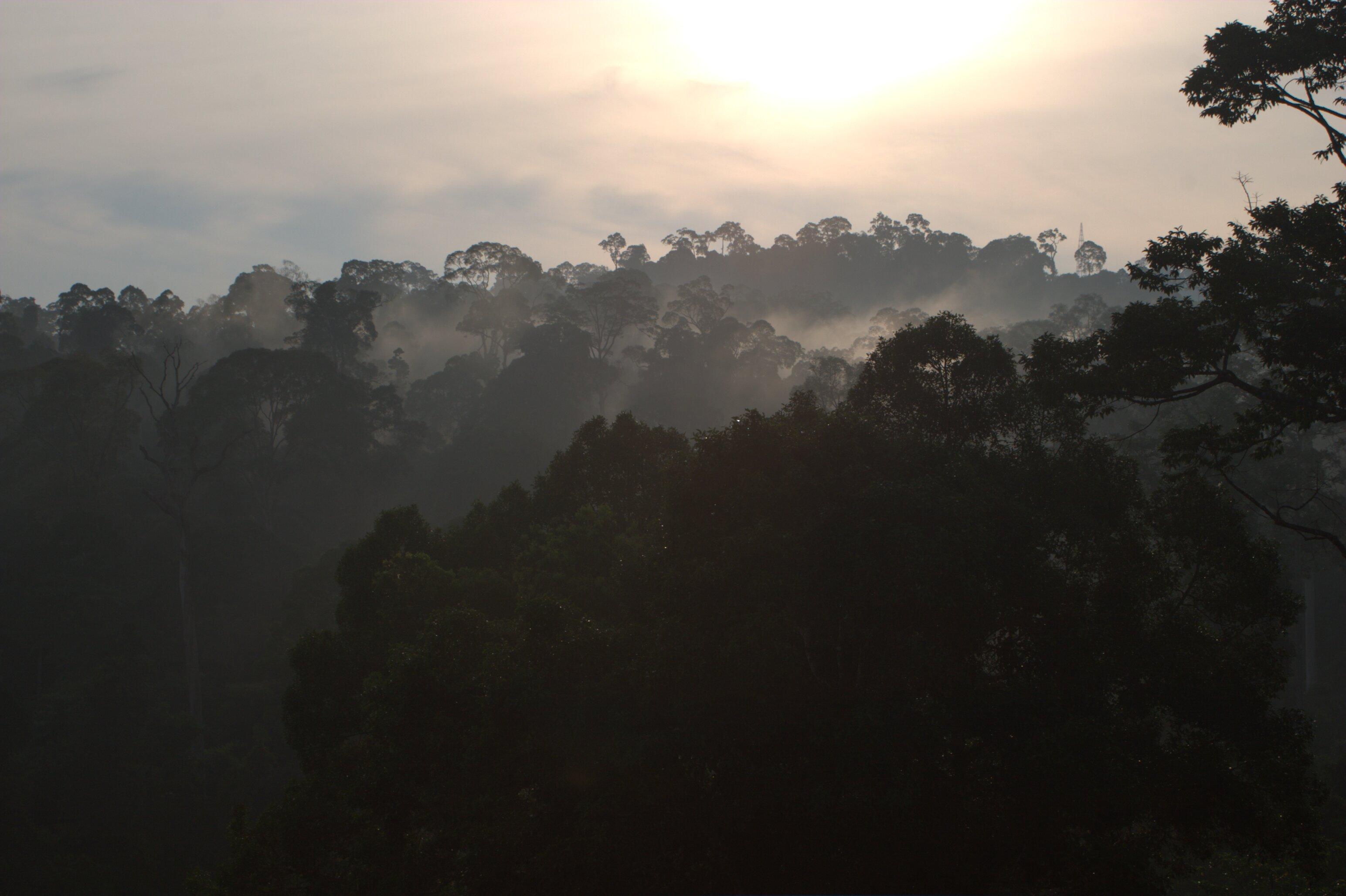
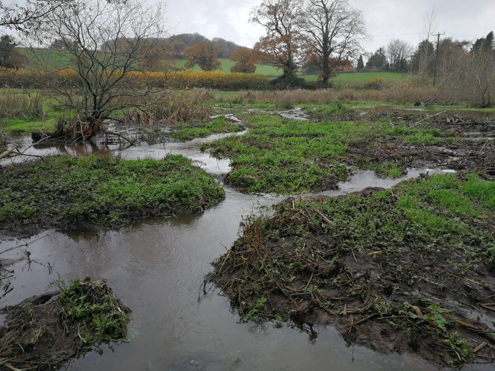
The engine delivers reference areas for each use case, and ramet47 delivers what’s needed for Verra’s VM0047.
How it works, in five steps
“With belian, you can be confident you’re working with someone who knows their sector, has been in a project’s shoes and is basing their decisions in science.”
A method you cannot examine is a method you should not rely on. We work to ensure this transparency is real, and it is what lets a buyer, an auditor or a registry judge our answers for themselves.
We have filed a patent application for our matching method. That is what lets us describe it here in detail instead of hiding behind a proprietary black box.
What we publish. The ramet47 method and the stocking index behind it are written up in a methodology note. A stocking index is a measure of forest structure that does not have to be in units of biomass or height; VM0047 uses one so that the methodology is not tied to any single measurement. Ours measures canopy height and canopy density together, with NASA’s GEDI lidar as the reference, for every year of a project’s history and monitoring. We work on the A5 geo grid, an equal-area grid built from pentagonal cells. Our tools for the A5 grid are open source under the Apache 2 licence: a5R, the R package for the grid, on CRAN; petalcluster, for density clustering; and ctreesR, a reader for CTrees biomass data. The A5 grid itself was created by Felix Palmer.
A foundation model is a very large machine-learning model, trained on an enormous quantity of satellite imagery. It learns, without being told what to look for, how to summarise a patch of land as a list of numbers. These lists are called embeddings, because so much information about the patch is embedded in them. We simplify and summarise those embeddings, and we describe that summary as a fingerprint of that patch of land. The satellite fingerprints come from two published foundation models: AlphaEarth Foundations (Brown et al., 2025) and Embedded Seamless Data (ESD, Chen et al., 2026). Both papers are open.
For the audit-grade analysis, we deliver the stocking index data with its derivation and validation; the project and control plots with their geometry, weights and stocking index series; and the balance, trend and benchmark statistics, in standard formats on a fixed global grid. For proprietary components, we provide everything required for validation and verification through controlled access and documentation.
Before you commit to the audit-grade analysis, a preview of the analysis and results is available in the app, without the audit materials. Both are priced on the VM0047 page.
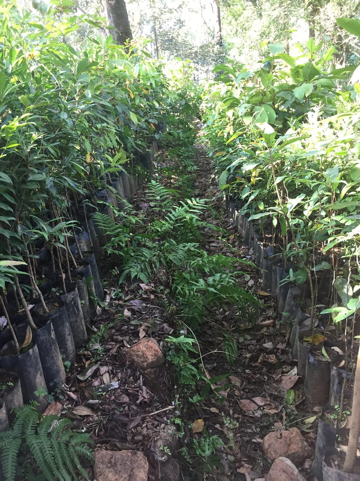
Seedlings along a nursery path at a tree planting project. Valparai, India.
02
Every product we build runs on the same engine, and it answers that one critical question. The most comparable places become the reference areas, and what happens in them is the evidence for what would have happened in the project.
We use the embeddings to constrain the donor pool, which is how we select the comparison areas. The embeddings mean we match on all kinds of things without choosing what to match on: a reference area is selected because its whole satellite record resembles the project’s, not because it scores alike on a handful of variables somebody picked in advance. That selection step is the part our patent application covers.
ramet47, for Verra’s VM0047, is the first product built on the engine. The other two are in development, and parts of them can be bought today: counterfactual monitoring for avoided deforestation, and pilot projects in biodiversity.
03
For every project we produce three things , with per project pricing.
The estimate of what would have happened without the project, with a range, not a single figure. We make our own biomass maps, and they come with every baseline.
The comparable places the estimate relies on, as maps you can open and inspect, with the reasoning for why each one was selected.
All of these deliverables are written to be examined by someone who is looking for problems, so the project has its defence ready before an auditor asks. If our outputs generate findings during validation or verification, we will answer them in writing until they are closed.
We price per project, not per hectare of reference area. However many reference areas the analysis needs, they are included. The launch prices are on the VM0047 page.
The first product with all three ready is ramet47, for tree planting and restoration under VM0047. Refer to the VM0047 page for an itemised list of deliverables.
04
Baselines are usually reported as a single number. We give a range, because a single number implies a precision that does not exist.
Every stocking index value comes with a range. We check those ranges against lidar measurements that were kept out of the model’s training, and the 95% range contains the true value about 95% of the time. The range is not symmetrical, and it widens where the record shows a sudden change such as clearing. The benchmark has its own range. For every baseline year we test that the project and its reference areas were in balance, and we report the result. Reference areas that sit next to each other are not counted as independent evidence.
This is also why we are not a ratings agency and do not intend to become one. It is not a rating, it is a benchmark. We publish the mean and the bounds around it, and we leave the judgement to buyers, auditors and standards bodies.
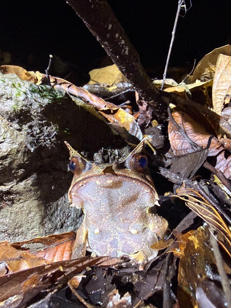
The long-nosed horned frog, Malaysian Borneo. Photo: Jennifer Sheridan
05
A project sends us its boundary as a GIS file, its start date, and the standard and methodology it is using. Field plots are not required, but improve the result where the project has them.
We select the reference areas, build the stocking index for the project and the reference areas for every year of the baseline and the monitoring period, match the controls, and calculate the baseline with its bounds. What comes back is the maps of the candidate pool and the selected reference areas, the matched controls with their weights, the balance statistics, the stocking index with its validation, and the baseline, through our web platform and the API.
At validation and verification we deliver the data and documentation in auditable formats and answer any findings on our outputs in writing until they are closed. At each verification the baseline is recalculated on new stocking index data, and controls that have become invalid are replaced. Most years of a crediting period are not verification years. A developer still wants to know how the project is doing in those years, and should not pay audit prices to find out. That is what the preview run is for.
06
Our methods are based on published ecological research. We work with the University of Aberdeen, the University of Exeter and ETH Zurich, and our development has been supported by the European Space Agency and by Innosuisse, the Swiss innovation agency.
Our team’s response to West et al., the widely cited assessment of forest carbon projects, set out where we think the existing statistical approaches go wrong, particularly in how the pool of candidate comparison areas is built. The detail of that argument is on the ramet5 page.
A rainforest tree from its base to the canopy.
07
We make our own biomass maps, and they come with every baseline at no extra charge. If a biomass map is all you need today, we can supply that too, and it comes with the information you need to judge how far to trust it. What a biomass map on its own cannot do is provide a baseline: it tells you how much carbon is standing in a forest today, not how much would have been there without the conservation project.
We do not rate projects, score them or rank them. We do, however, put uncertainty estimates on baselines. If that would be useful to you across a portfolio of projects, or a set of potential project areas, get in touch.
The best of the recent methodologies have moved the field forward, and we build tools and analysis for them first. Think of our work as methods for methodologies: the reference areas, the baselines and the uncertainty that decide whether a methodology works as well on the ground as it does on paper. Where we think a requirement could be better we say so, in public comments and in our published work. And we are already working on the science to support the next generation of methodologies.
Questions people ask
What is a counterfactual baseline?
A counterfactual baseline is an estimate of what would have happened on the land without a carbon project. Comparing the project’s present day to the project’s baseline decides how many credits it can claim, so everything else in a credit depends on getting it right.
Why does belian.earth report a range instead of a single number?
A single number implies a precision the underlying estimate does not have. belian.earth reports the mean with upper and lower bounds, covering the uncertainty in estimating what would have happened without the project.
Is belian.earth a ratings agency?
No. belian.earth does not rate, score or rank projects. We publish a baseline, the estimate and the bounds around it, and we update it at each verification, leaving judgement to buyers, auditors and standards bodies.
What does belian.earth deliver for a project?
belian.earth provides three things at the start: the baseline estimate with a range, not a single number, the reference areas as inspectable maps with the reasoning for each selection, and audit materials written to be examined critically. For as long as the project runs, we recalculate the baseline at every monitoring event, provide the data and documentation each validation and verification asks for, and answer any findings in writing until they are closed. In the years between, a preview run can show how the project is doing.
How is a carbon baseline different from a biomass map?
A biomass map measures how much carbon is standing in a forest today. A baseline estimates how much would have been there without the project. belian.earth makes its own biomass maps and includes them with every baseline. A map on its own cannot provide a baseline, and where a project uses a dynamic baseline the comparison has to be redone at every monitoring event, so the analysis on top of the map is the product.
What is ramet5?
ramet5 is belian.earth’s matching engine. It finds the areas of a landscape comparable to a project area, which become the reference areas its baselines are built on. Every belian.earth product, including ramet47, runs on it.
Related reading
Where the belian.earth team has written on the questions this page raises.
Why Forest Restoration Projects Need Robust Counterfactual Baselines
by Christopher D. Philipson
Every forest carbon project depends on a counterfactual baseline to demonstrate its impact. Whether avoiding deforestation or restoring degraded land, the underlying question is the same: what would have happened without the intervention?
Read articleOpinionThe carbon baseline problem nobody wants to talk about
by belian.earth
The carbon market has an integrity problem. But while the industry obsesses over which biomass map to trust, the real uncertainty is in the carbon baseline.
Read articleOpinionVM0047's brave call is your ARR project's defining moment
by belian.earth
VM0047 locks the developer's matched reference areas at validation and keeps them fixed for the full crediting period. That single choice defines your ARR project's baseline for decades.
Read articleUnfamiliar with a term? See the glossary.
Stay in the loop
Stay up to date with developments in independent reference area selection and carbon market baselining.