What this paper found
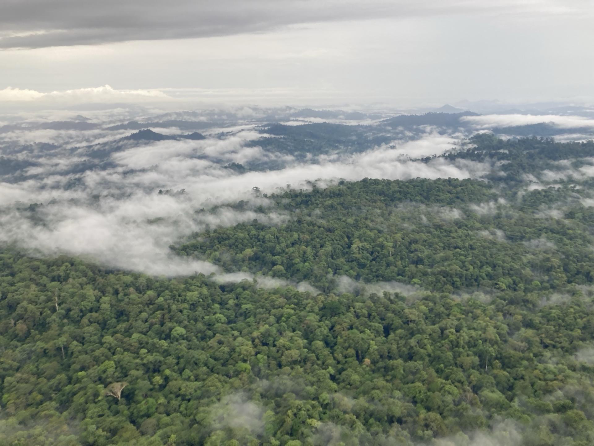
High-resolution aboveground carbon density mapping across the entire state of Sabah, Malaysian Borneo, combining airborne LiDAR with field plot data. The resulting maps directly informed conservation priorities and restoration investment across degraded and intact forest landscapes.
How this informs belian.earth’s work
Biomass maps are inputs to baseline science. Chris led the field component of this paper, and one of the things that made it work was a methodological choice that is still unusual in the field. Plot networks for biomass mapping are traditionally located at random points. Here, the draft biomass map from the first model pass was used to select specific plot locations across the carbon-density spectrum, at both high-carbon and low-carbon ends, to validate the model where validation is hardest. More efficient per plot measured, and a better map at the end. That is how belian.earth still approaches site-level biomass estimation.
Biomass maps are necessary but not sufficient. The harder question is what we compare them against, which is where VM0047 reference area selection and the earth observation foundation model work we presented at ML4EO 2026 come in.
Frequently asked questions
How is aboveground carbon density mapped in tropical forests?
+
A study in Sabah, Malaysian Borneo produced high-resolution aboveground carbon density maps by combining airborne LiDAR with field plot data. The resulting maps guided conservation priorities and restoration investment across degraded and intact forest landscapes. Accurate carbon stock maps are essential for forest carbon project design and baseline setting.
Want more like this?

Read our take
The carbon baseline problem nobody wants to talk about
by belian.earth
The carbon market has an integrity problem. But while the industry obsesses over which biomass map to trust, the real uncertainty is in the carbon baseline.
Read article
Stay in the loop
Stay up to date with developments in independent reference area selection and carbon market baselining.
Related papers
Estimating aboveground carbon density and its uncertainty in Borneo's structurally complex tropical forests using airborne laser scanning
Tommaso Jucker et al.
Biogeosciences, 2018
View on doi.org
Estimating canopy height in tropical forests: Integrating airborne LiDAR and multi-spectral optical data with machine learning
Brianna Pickstone et al.
Sustainable Environment, 2025
Read more
Evaluating GEDI for quantifying forest structure across a gradient of degradation in Amazonian rainforests
Emily Doyle et al.
Environmental Research Letters, 2025
Read more
Citation
Asner, G.P. et al. (2017). Mapped aboveground carbon stocks to advance forest conservation and recovery in Malaysian Borneo. Biological Conservation. https://doi.org/10.1016/j.biocon.2017.10.020