Conservation Integrity: independent baselines for forest carbon
An ESA Business Applications Kick-start activity
Conservation Integrity on the ESA Business Applications portal ↗
The counterfactual baseline problem we set out to solve
The hard part of forest carbon has never been counting and measuring trees. Satellites have been good at that for years.
The hard part is the counterfactual baseline. Before you can say a project saved a forest, you have to say what would have happened to that forest if the project had never existed. That number decides how many credits get issued, and today it is often produced by the people being paid based on the answer.
That is the credibility gap the voluntary carbon market has been criticised for, and it is the one we work on.
What we built: independent reference areas from satellite data
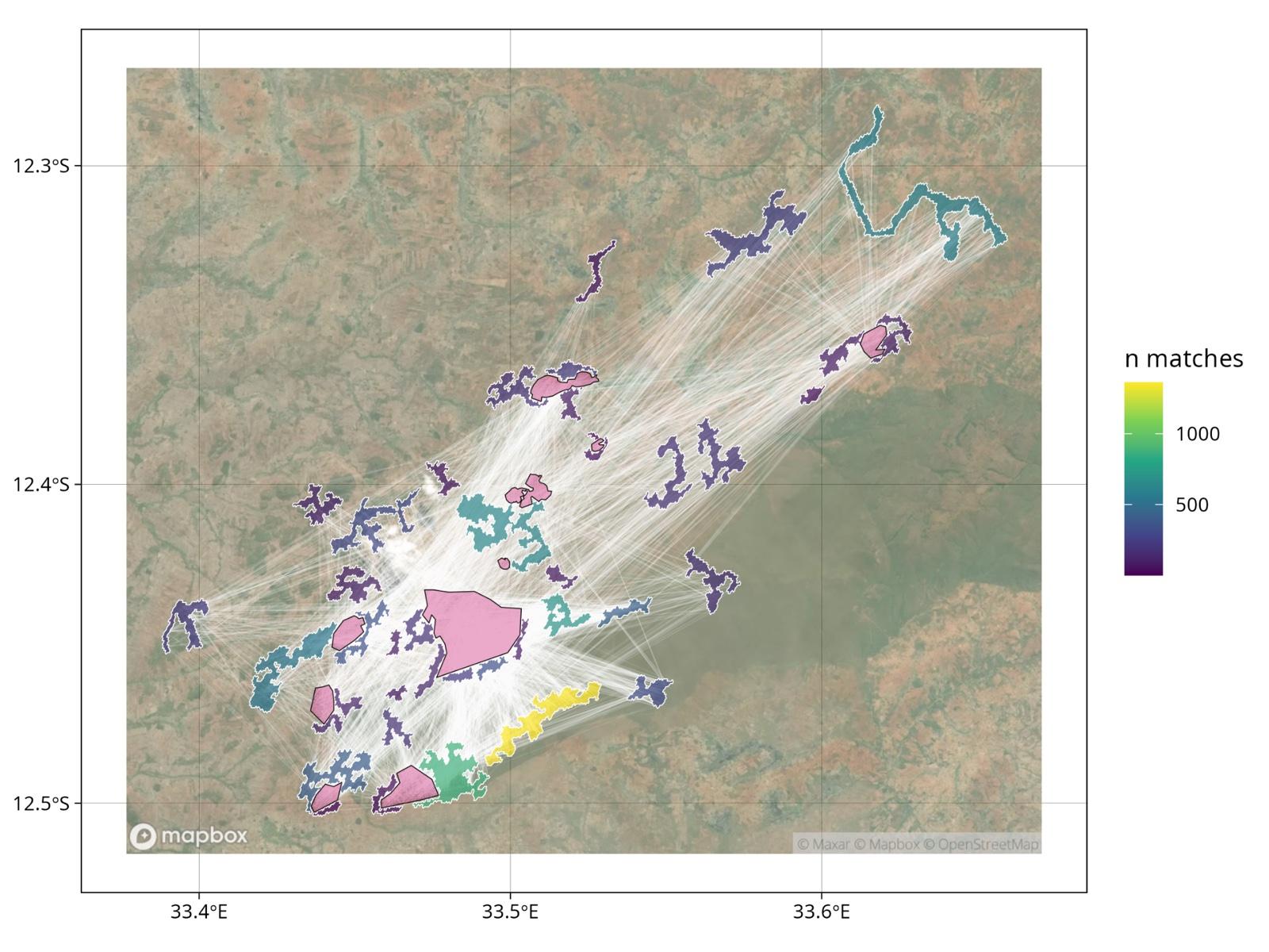
ramet5 is a geospatial AI pipeline that selects the reference areas a project’s impact is measured against. What sets it apart is how it chooses them. It finds the land that most closely resembles the project area, from the satellite record rather than from a circle drawn round the project or from negotiation.
Independence comes with that, and it is no longer rare on its own. The reference areas are chosen by the model, not by the developer, and the uncertainty around the result is quantified rather than assumed. The difference is how closely the comparison land matches the project.
ramet47 is the version of the engine built for Verra’s VM0047, the methodology for afforestation and reforestation projects.
The pipeline draws on:
- Sentinel-1 and Sentinel-2, ESA’s radar and optical imagery
- GEDI, NASA’s canopy structure lidar
- The Landsat archive, for the long historical record that carbon methodologies require
- ESA’s BIOMASS mission, which we are integrating as data becomes available
On top of that sits a cloud embeddings pipeline, the matching and analysis layer, and automated reporting built for audit rather than for presentation.
Who independent baselines are for
The Kick-start work was shaped around three groups, and we spoke to all of them:
- Project developers originating forest conservation and restoration projects under standards such as Verra’s.
- Conservation organisations running reserves and reporting impact to their donors.
- Sustainable timber companies demonstrating low-impact forestry in their concessions.
What they asked for was consistent. Reference areas not chosen by the developer. Results an auditor can reproduce. And an honest number for how uncertain the baseline is.
A fourth group matters as well: carbon credit buyers, who want to know how wide the uncertainty is on the additionality different projects claim. That is not a rating. It is information that helps them decide which projects to buy from.
What the ESA Kick-start work has produced
An operational pipeline producing reference areas at jurisdictional scale, rather than a prototype that works on one site.
We have demonstrated it on forest sites in Sabah, Malaysia, southern Africa, Brazil and Switzerland, and tested it against coastal blue carbon scenarios.
belian.earth Ltd ran the activity, which began in November 2025. We announced the award in January 2026.
What we are doing next: VM0047 and landscape screening
The methodology work continues. We have extended the pipeline to Verra’s VM0047 for afforestation and reforestation, and are extending it to improved forest management under VM0010. We are working on landscape-scale screening, which turns the same machinery around to ask where forests would regenerate on their own and where they would not.
We will keep publishing methods as the work develops.
Related reading
Where the belian.earth team writes about the baseline problem this work addresses.

Read our take
Why Forest Restoration Projects Need Robust Counterfactual Baselines
by Christopher D. Philipson
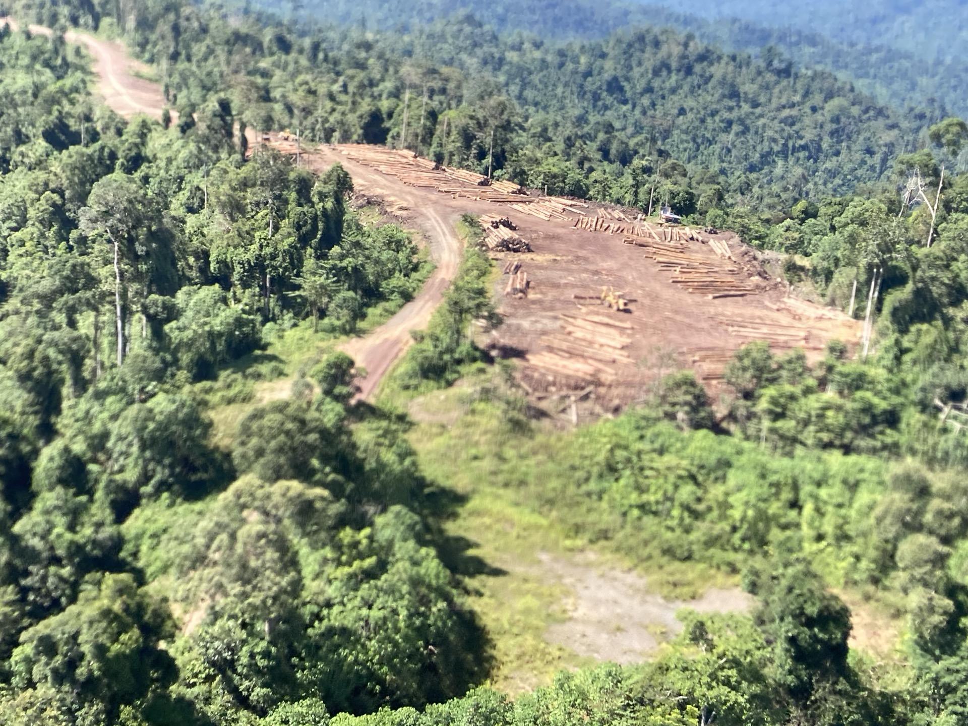
Every forest carbon project depends on a counterfactual baseline to demonstrate its impact. Whether avoiding deforestation or restoring degraded land, the underlying question is the same: what would have happened without the intervention?
Read article
Read our take
The carbon baseline problem nobody wants to talk about
by belian.earth
The carbon market has an integrity problem. But while the industry obsesses over which biomass map to trust, the real uncertainty is in the carbon baseline.
Read article
Read our take
Who's Afraid of the Big, Bad Forest?
by Chloé Naomi Swickard
Permanence has been a sticking point for Nature-Based Solutions since the Kyoto debates. The ICVCM Permanence Trust may finally unlock long-term durability. Even then, the deeper question of how nature gets financed will remain.
Read article