

Verra keeps a directory of Data Service Providers (DSPs) for VM0047, its methodology for afforestation, reforestation and revegetation (ARR) projects, the tree planting side of the forest carbon market. belian.earth is now listed in it. You can see our entry in the directory, and our logo among the providers shown on Verra's VM0047 methodology page.
This post says what the listing means for a project developer, what we do that the other providers on the list do not, and what it costs to find out whether our reference areas suit your project.
What the listing means
VM0047 sets a tree planting project's baseline by comparison with real places, not by projecting the past forward. A Data Service Provider is the party that supplies that analysis: the stocking index, a measure of how much forest is standing, the comparison areas, the matching, and the numbers the project is validated and verified against. For a developer, the practical point is who stands behind the analysis. If the developer produces it, auditors and buyers will ask whether it was steered. Independent analysis with a method anyone can rerun removes the question.
A place on the list confirms that a provider's approach to stocking index data meets the methodology's performance benchmark requirements. It does not guarantee that a project's data will be accepted, since every project is still reviewed by Verra and by the validation and verification body, and a project may use a provider that is not on the list. The list narrows the search. It does not make the choice for you, and the providers on it are not one kind of company, so we wrote a page on the three kinds of VM0047 Data Service Provider and how to choose one. It applies to any provider, us included.
What we do differently
The decision a VM0047 project carries longest is which reference areas it is compared with. The methodology locks them at validation and keeps them for the full crediting period, and it sets how pixels are matched and which land they may come from. How closely the surroundings have to match is left to whoever runs the analysis.
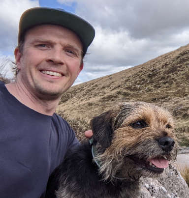
“Unconstrained pixel matching ignores the realities of geography and space. You need something that learns landscapes and landscape features. That's what we're offering.”
Our VM0047 product, ramet47, uses satellite embeddings to select the reference areas. An embedding is a compressed description of a place's whole satellite record, built by machine learning models trained on millions of satellite images. We look for the places whose record up to the project start, and whose surroundings, resemble the project's. Those reference areas constrain where VM0047's control plots may come from and define the region our stocking index model is trained on. That is the choice we automate, so there is no wiggle room: the same inputs give the same reference areas every run.
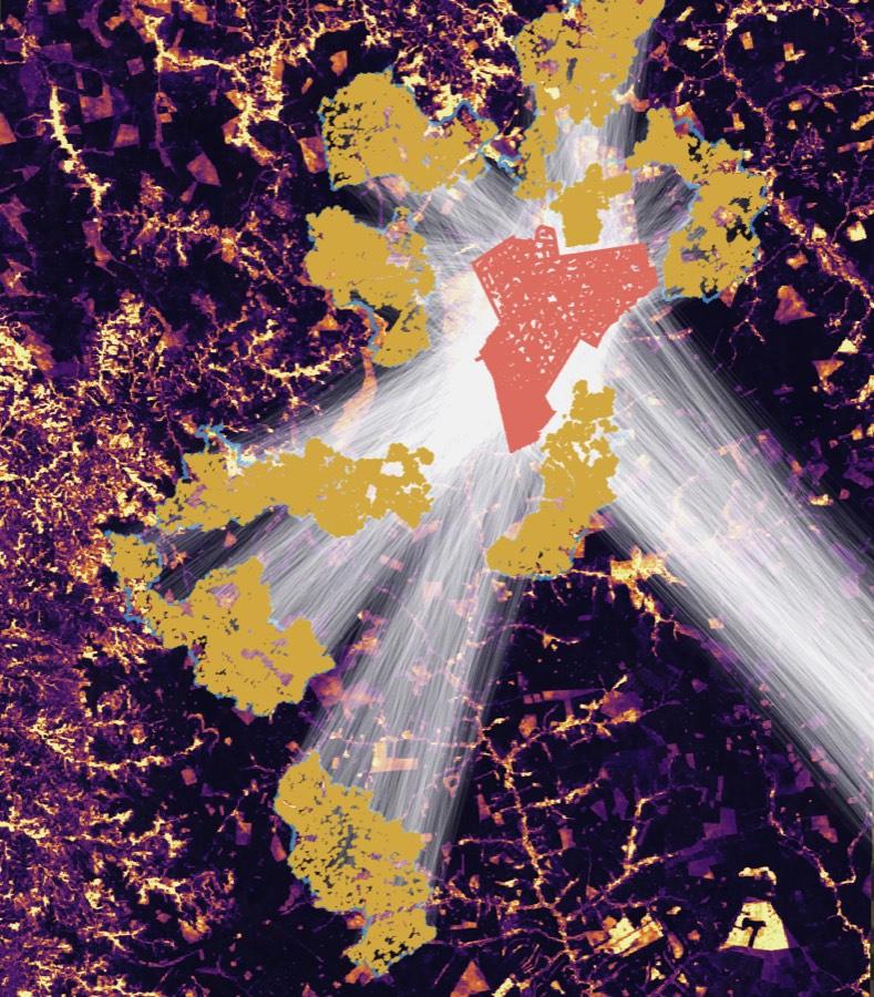
Some providers now use satellite embeddings to improve their stocking index. That is an obvious direction and it is not on its own a differentiator. As far as we can tell from what other listed providers have published, we are the only one that uses embeddings to select the comparison areas, rather than only to estimate biomass. We have filed a patent application for our matching method and intend to file an International PCT application claiming priority before the end of the priority year.
Three more things follow from how we build the index.
It is trained for the project's own region, not the world. The stocking index combines canopy height and plant area index, a measure of canopy density, with NASA's GEDI lidar as the primary reference. Models are trained for the project's region against those measurements, which gives better local accuracy than reading a value off a global map. Every value carries a prediction interval, checked against GEDI data held back from training.
It runs back to 2000. VM0047 asks for a historical reference period before the project starts, and our series covers it without gap years, including the years before Sentinel-2 existed.
It has reproduced an issued project's benchmark. ramet47 independently reproduced the performance benchmark of the first VM0047 project to be issued credits, within the uncertainty bounds. Accuracy figures are on our VM0047 page.
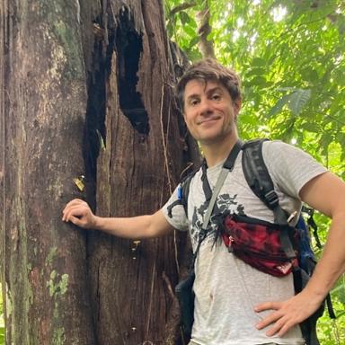
“We're proud to be supporting Verra projects, and this gives us the chance to demonstrate how well our reference area selection works.”
There is also the matter of who you are dealing with. We have taken projects through audit before, and we have had credits issued on our work. When a provider's outputs generate findings at validation or verification, somebody has to answer them, and we answer them in writing until they are closed.

“With belian, you can be confident you're working with someone who knows their sector, has been in a project's shoes and is basing their decisions in science.”
What a preview costs
Most developers choosing a provider want to see the reference areas before they commit to the costs of an audit-grade run, and most years of a crediting period are not verification years. So the first thing we offer is a preview.
A preview run is USD 3,000 per project, with a launch price of USD 1,500 for project developers. It gives the same analysis and the same answer as the audit-grade product, viewed in the app, without the full audit materials. It is for a project still choosing a provider, for checking reference areas chosen in house, for deciding whether a site can go ahead, and for putting a case in front of funders.
The full audit-grade baseline and monitoring is USD 15,000 per project at launch pricing: the reference areas, the stocking index, the dynamic baseline and performance benchmark, the uncertainty, and the audit pack, all downloadable. The preview is credited against it. We price per project, with no setup fee and no per-hectare charge, and the reference areas are always included, however many the analysis needs. Audit materials will also be delivered through Verra's Project Hub once our connection to it is complete.
You can draw a project boundary and request a preview at app.belian.earth, or get in touch and tell us about the project first.
Beyond VM0047
The question underneath VM0047 is the one underneath every forest carbon credit: what would have happened without the project? Reference areas chosen without a hand on the scale are our answer to it, and VM0047 is the first place they go through audit. The same reference areas already serve our first biodiversity pilots, and could serve as counterfactual monitoring of existing project portfolios. How our method works is published on our technology pages, so you can check it.
belian.earth works with the University of Exeter, the University of Aberdeen and ETH Zurich, supported by ESA Business Applications, Innosuisse and Venture Kick.
Questions and answers
›What is a Verra Data Service Provider (DSP) for VM0047?
VM0047 sets a tree planting project's baseline by comparison with real places rather than by projecting the past forward. Somebody has to build the stocking index, find the comparison areas, run the matching and produce the numbers the project is validated and verified against. A Data Service Provider, or DSP in Verra's documents, is the party that supplies that analysis.
›What does being listed in Verra's VM0047 DSP directory mean?
A place on the list confirms that a provider's approach to stocking index data meets the methodology's performance benchmark requirements. It does not guarantee that a project's data will be accepted, since every project is still reviewed by Verra and by the validation and verification body, and a project may use a provider that is not on the list.
›How much does a VM0047 baseline from belian.earth cost?
A preview run is USD 3,000 per project, with a launch price of USD 1,500 for project developers. It gives the same analysis and the same answer as the audit-grade product, viewed in the app, without the full audit materials. The full audit-grade baseline and monitoring is USD 15,000 per project at launch pricing, with the preview credited against it.
›How does belian.earth choose VM0047 reference areas?
Reference areas are chosen by what the project area actually contains. We use satellite embeddings, a compressed description of each place's whole satellite record, to find the places whose record up to the project start and whose surroundings resemble the project's. The matching is automated, so the same inputs give the same reference areas every run.
Stay in the loop
Stay up to date with developments in independent reference area selection and carbon market baselining.
Related posts
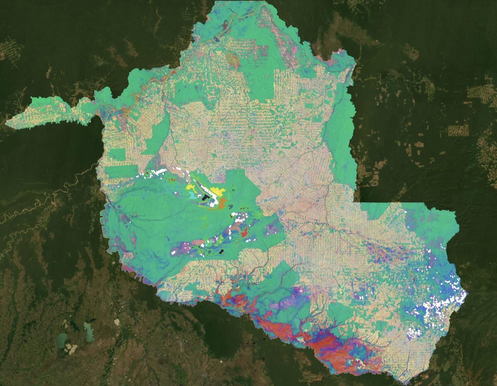
VM0047's brave call is your ARR project's defining moment
by belian.earth
VM0047 locks the developer's matched reference areas at validation and keeps them fixed for the full crediting period. That single choice defines your ARR project's baseline for decades.
The carbon baseline problem nobody wants to talk about
by belian.earth
The carbon market has an integrity problem. But while the industry obsesses over which biomass map to trust, the real uncertainty is in the carbon baseline.

Why Forest Restoration Projects Need Robust Counterfactual Baselines
by Christopher D. Philipson
Every forest carbon project depends on a counterfactual baseline to demonstrate its impact. Whether avoiding deforestation or restoring degraded land, the underlying question is the same: what would have happened without the intervention?